File:USA tar bubble la brea CA.jpg
Jump to navigation
Jump to search

Size of this preview: 800 × 600 pixels. Other resolutions: 320 × 240 pixels | 640 × 480 pixels | 1,024 × 768 pixels | 1,280 × 960 pixels | 2,272 × 1,704 pixels.
Original file (2,272 × 1,704 pixels, file size: 1.56 MB, MIME type: image/jpeg)
Summary
| Camera location | | View this and other nearby images on: OpenStreetMap |
|---|
| Description |
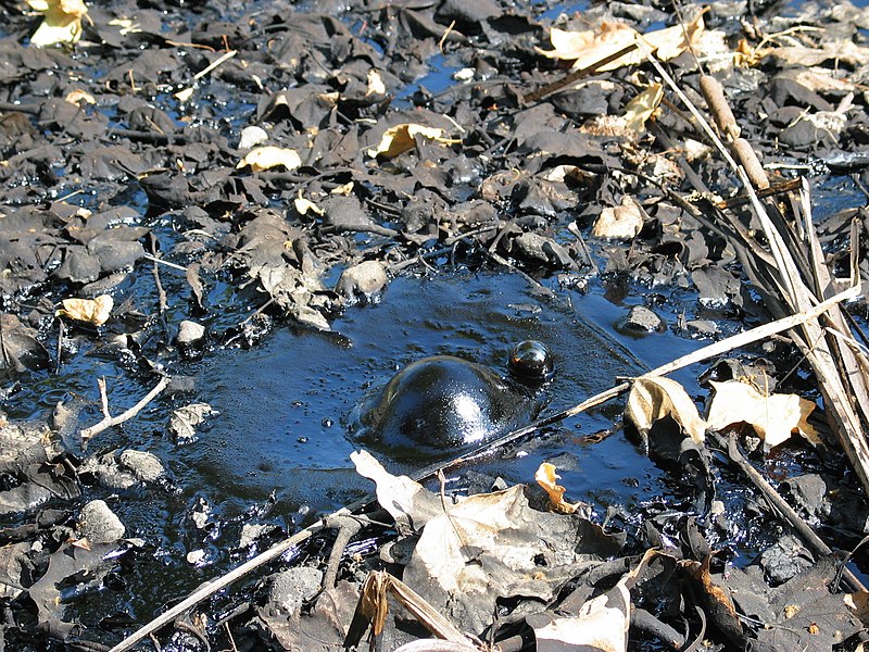
English: Tar bubble at the La Brea Tar Pits — in Los Angeles, California, USA
Deutsch: Aufsteigende Blase im Teer der La Brea Teergruben (La Brea tar pits) in Los Angeles, California, USA
Français : L'un des affleurements d'asphalte naturel de Rancho La Brea, avec une bulle de gaz (méthane) émergeant lentement d'un petit puits de goudron.
|
| Date | |
| Source | Own work |
| Author | Daniel Schwen |
Licensing
I, the copyright holder of this work, hereby publish it under the following license:
This file is licensed under the Creative Commons Attribution-Share Alike 2.5 Generic license.
- You are free:
- to share – to copy, distribute and transmit the work
- to remix – to adapt the work
- Under the following conditions:
- attribution – You must give appropriate credit, provide a link to the license, and indicate if changes were made. You may do so in any reasonable manner, but not in any way that suggests the licensor endorses you or your use.
- share alike – If you remix, transform, or build upon the material, you must distribute your contributions under the same or compatible license as the original.
File history
Click on a date/time to view the file as it appeared at that time.
| Date/Time | Thumbnail | Dimensions | User | Comment | |
|---|---|---|---|---|---|
| current | 12:12, 3 May 2006 | | 2,272 × 1,704 (1.56 MB) | wikimediacommons>Dschwen | {{Information| |Description=Tar bubble at the La Brea tar pits, Los Angeles, California, USA |Source=own photo |Date=April 15th 2004 |Author=Daniel Schwen |Permission= |other_versions= }} |
File usage
There are no pages that use this file.